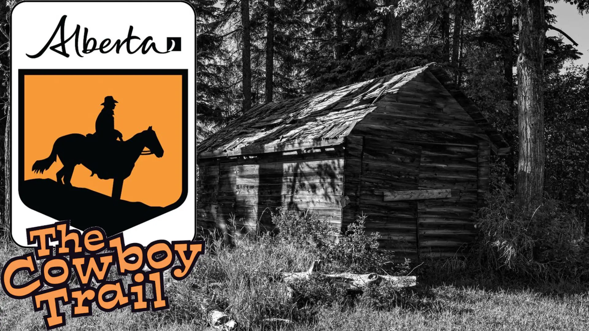
For those outside Alberta, and definitely Canada, The Cowboy Trail is a long stretch of road on the west end of the province. It runs from Mayerthorpe to Cardston, over 700KM along highways 5, 6 and 22. Some sources say it only runs to Lundbrek, but that’s up for debate. Official signage says Cardston, Wikipedia says Lundbrek, you be the judge. In the 1880s, cowboys were drawn to the eastern side of the Rockies due to the moderate climate and the expansive range lands were ideal for cattle. While Mayerthorpe is considered to be the end of the trail, I started there, for a couple of reasons. I wanted to end my journey in the mountains, or near them at least, and I wanted the drive home after to be shorter. Getting to Mayerthorpe from Calgary is a solid four hours.
I had wanted to do this trek for years. I once had a guide to the trail but I kept putting it off. Even after I no longer had the book, I still thought about it each year. Finally in the early fall of 2021 I had made up my mind. We were in the midst of a pandemic, hotels were cheap, tourist attractions were deserted, so I felt like it was a good time to have it all to myself, in a way.
Preparation
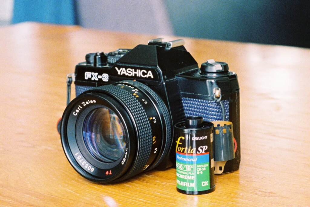
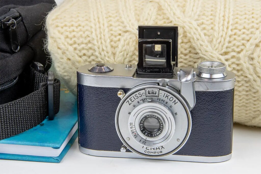
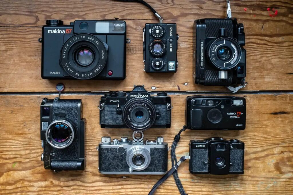
To prep for my trip I brought with me three cameras. A Nikon F100, a Pentax 6×7 and a Fujifilm X-E2S. I also brought about twenty rolls of film, but by the end I’d only end up shooting ten of them.
There was something else I wanted to make sure, and that was I didn’t vlog it. At this time I was still doing Days of Knight on my channel, but I wanted this to be only recorded via photo. I didn’t want to be distracted by setting up two shots at every location and I also opted for writing a diary, which really helped in the making of this article, but took a little time to translate the chicken scratches because a lot of the time I had the book in my lap, or perched on the steering wheel. Going over it again made a few forgotten memories spring to mind for sure. This would be the biggest solo road trip I had ever been on, a four day journey, and I had no idea what to expect. So on September 20th, 2021 I set out and by 1PM had made it to Mayerthorpe.
One of the first things I photographed was the grain elevator. I had just begun my Grain Elevator Project at this point and capturing one this far north couldn’t be missed. I wandered the town, got a few buildings, and the “end of the line” marker as well. Not a lot of winners made it to my final cut.
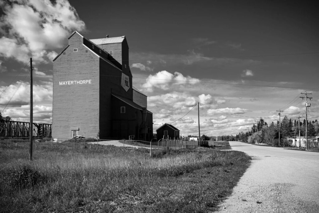
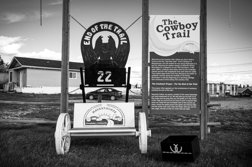
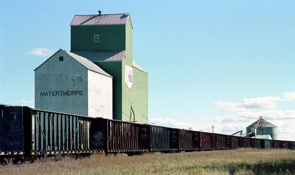
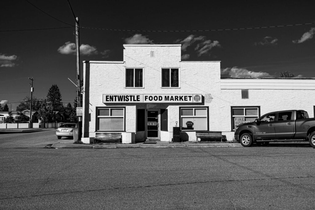
Another reason why I chose to start in the north was because, quite frankly, the further north you go in Alberta, the more boring it gets, and I knew I was going to have a rough time at the start but I have to admit I was even more frustrated than expected. By about 4PM on my first day I had made it to Entwhistle, which was so small I missed it at first and had to turn around.
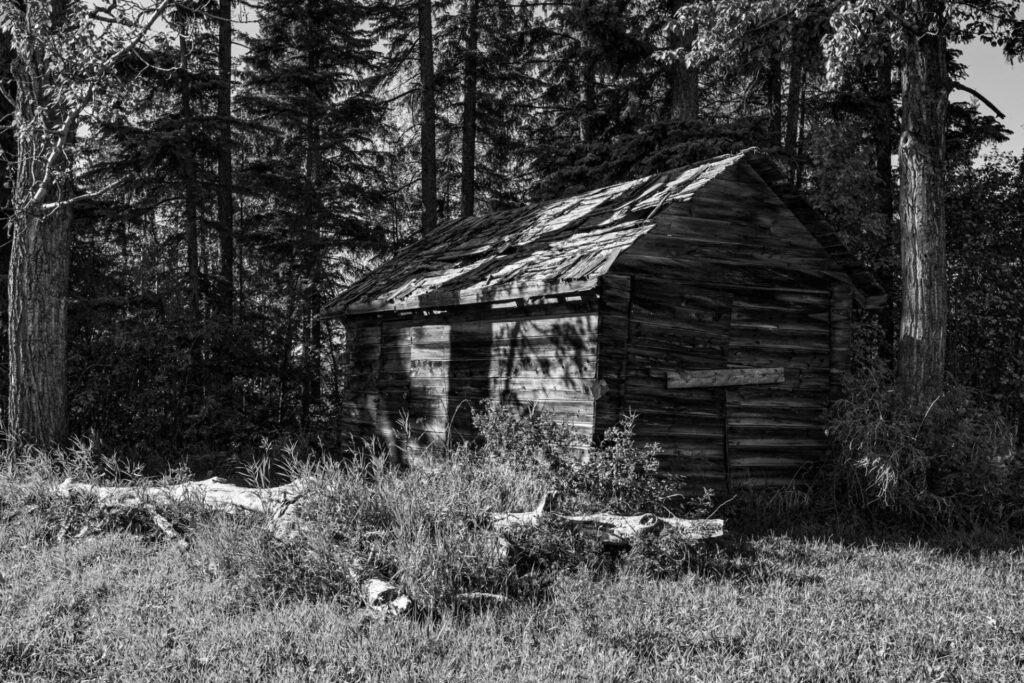
The plan was to stay in Drayton Valley on my first night and on my way there I came across an abandoned farm, which is one of my favourite things to photograph. There are fewer and fewer each year and usually not accessible. This was no exception, as there was a gate and a very clear “no trespassing” sign. My rule of thumb is, if I see the sign I obey it, otherwise I claim ignorance. So I stayed on the right side of the law and busted out the telephoto lenses. A 50-230mm for the Fujifilm X-E2S, a 200mm for the Pentax 6×7 and a 28-105mm for the Nikon F100, the longest lens I had for it at the time unfortunately.
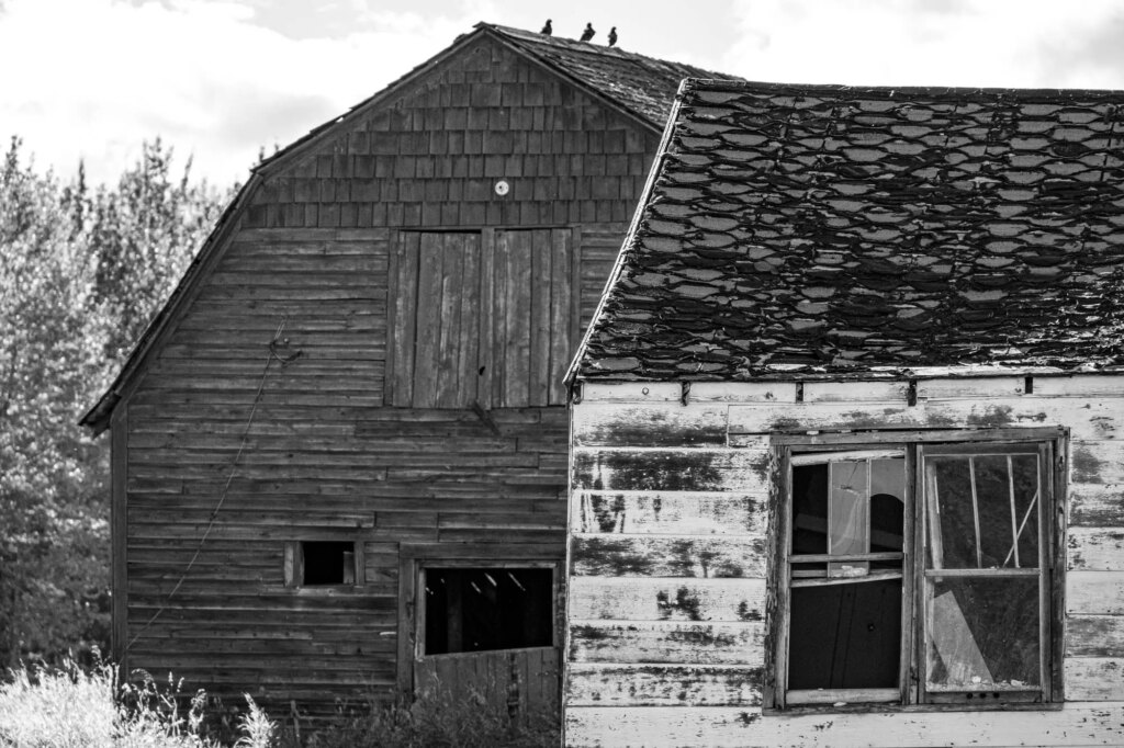
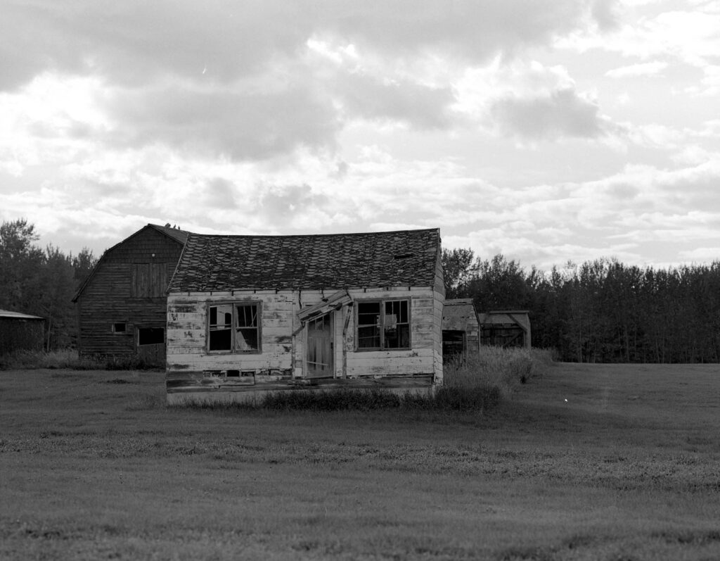
I made it to Drayton Valley and into my Hotel Room by 6PM. Even though I look back on all this as a really great experience, there are several instances that I remember being frustrated, as well as writing about it. I think that’s just the way it goes for me, I’ll think “this stinks” then look back later with “man that was great”.
I was up at 5AM…sore, but eager to get started. I had weird dreams of old friends and places I used to live…no idea what that meant but some cheap hotel coffee shook the cobwebs from my mind and I planned to explore Drayton Valley a bit before getting underway. That’s not how it went though, as I state in my journal “Up super early as you know, so I figured I would get some moody night photos before sunrise. No luck. I know I’m just supposed to document what I see but IGA’s and liquor stores are not exactly what I am going for here. I knew the north end would have less to offer but I am hoping the most boring is behind me.” The one thing I did enjoy was the smell of a wood refinery nearby. This was logging country, and you couldn’t drive for more than fifteen minutes on the highway without seeing a logging truck.
I also wrote “Sunny 94 FM is the shit” in the upper right corner of the page.
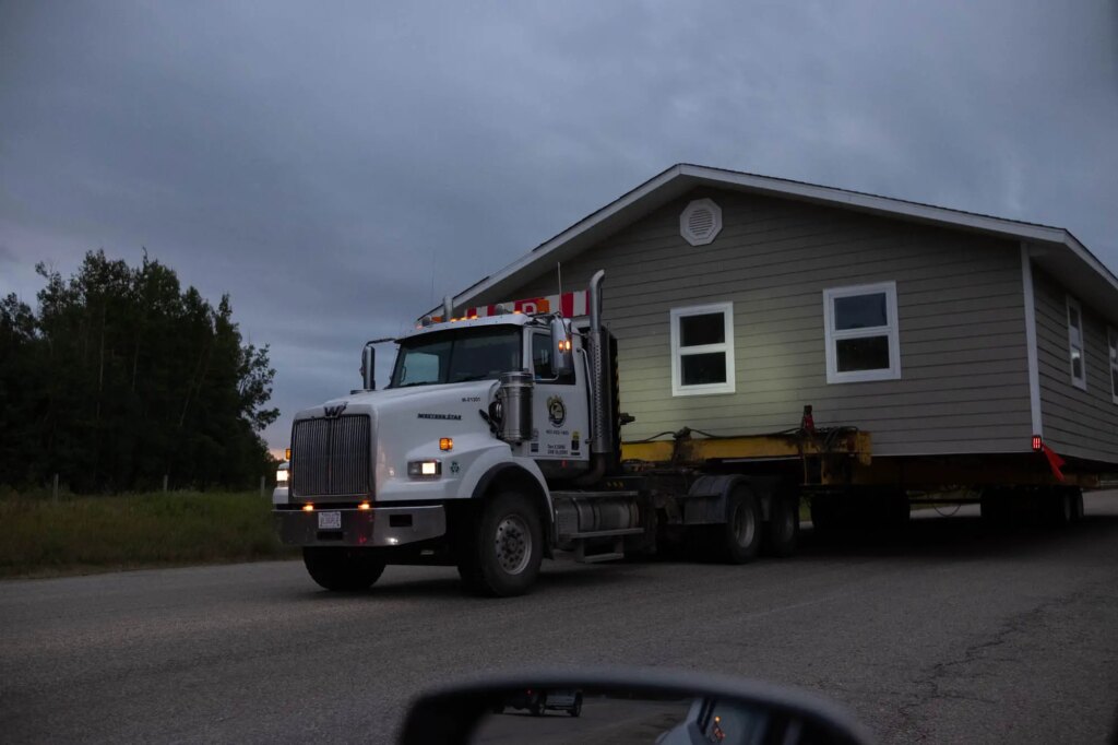
On my way out I came by a car at a yield with its hazards on, and so without asking myself why, I hooked around her, and she looked at me like I was a moron…rightfully so because coming down the road was a truck pulling a house. I was able to save face by making it seem like I pulled around to get a photo, maybe she bought it?
By 10:30am I had reached Rocky Mountain House, which I had high hopes for, but of course everything was closed. I still managed some great shots from here though. There was an antique store that opened shortly after I arrived. I made some photos in there as well as around town and was on my way.
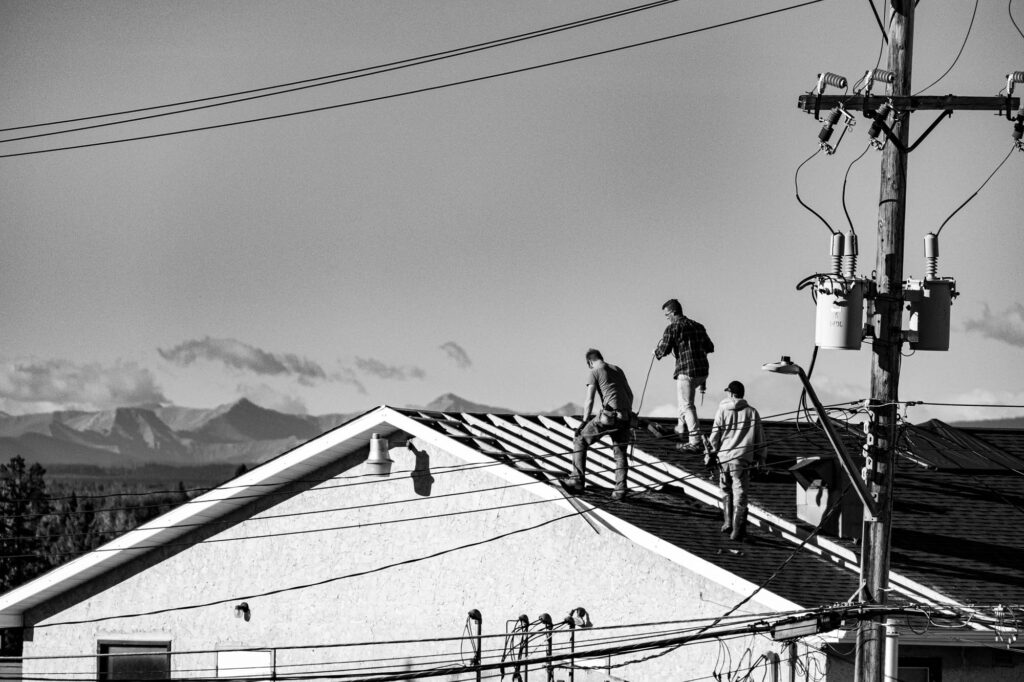
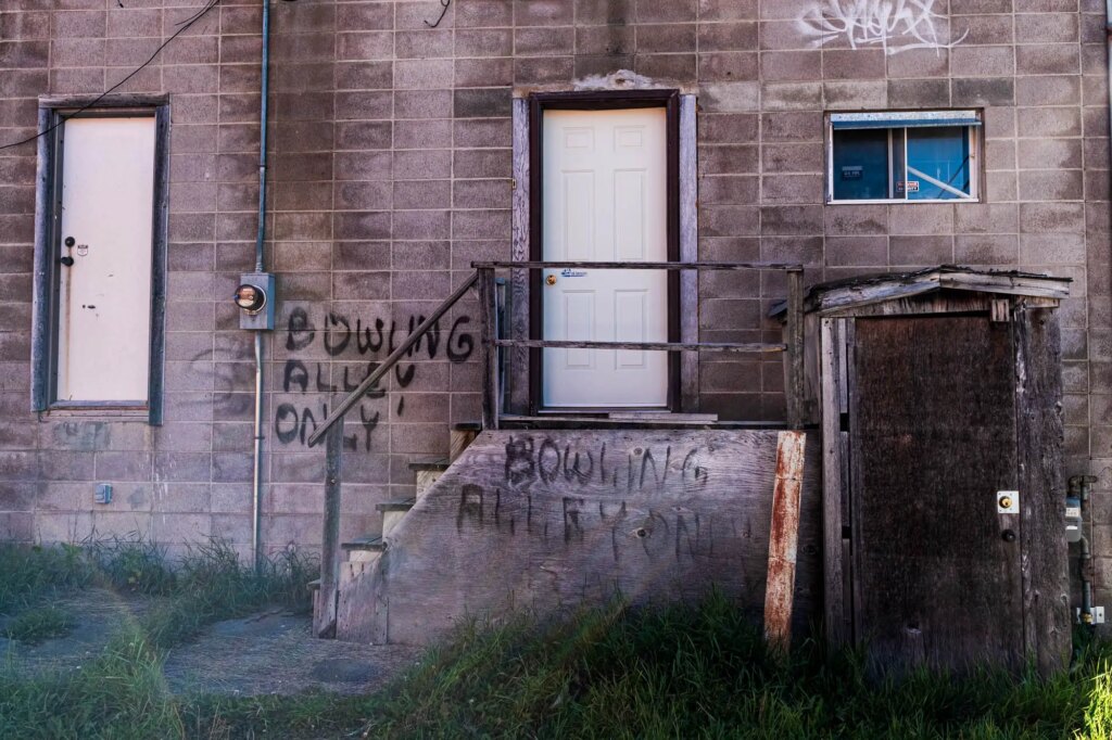
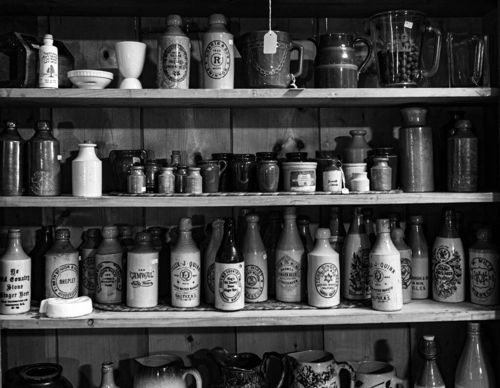
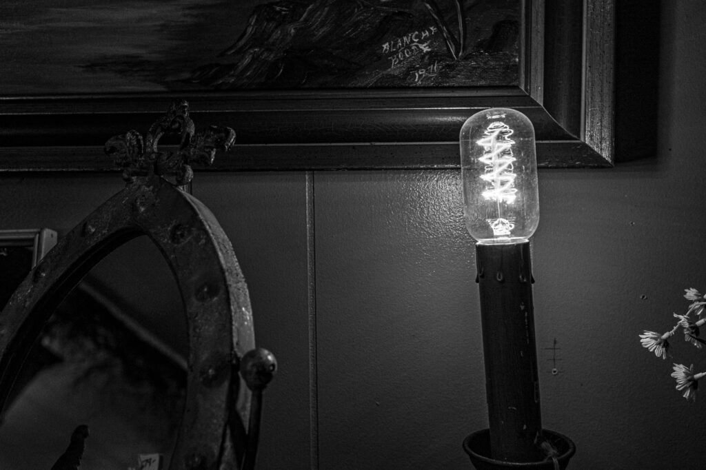
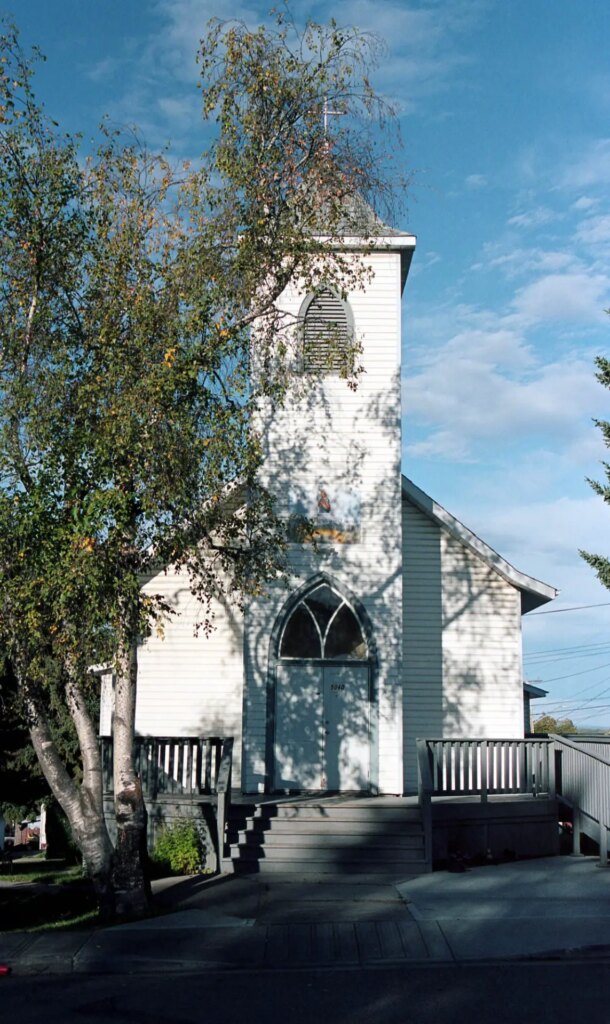
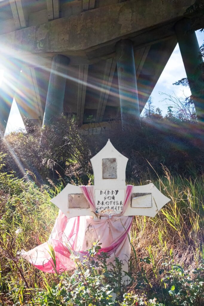
In between Rocky Mountain House and the next town, Caroline, I spotted a river, Clearwater River, while crossing a bridge. I turned around and found somewhere safe to pull in and went under the bridge to snap a few when I came across a memorial for someone’s lost loved one. It was there I took one of my best photos of the journey.
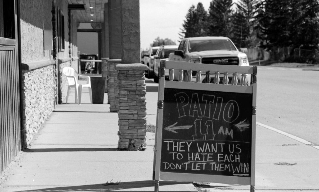
It was at this point in my time on the road where I began getting towns mixed up. I mislabeled a town in my journal and later corrected it and I was having trouble getting my pacing right. Too much time in some places, not enough in others and the need to get to the day’s destination within a decent timeline due to few choices in solid hotels. I also came to the conclusion that photographing every town was just not an option and not necessary. That I planned to hit this road a few times over the next several years and getting it all in one go was not possible.
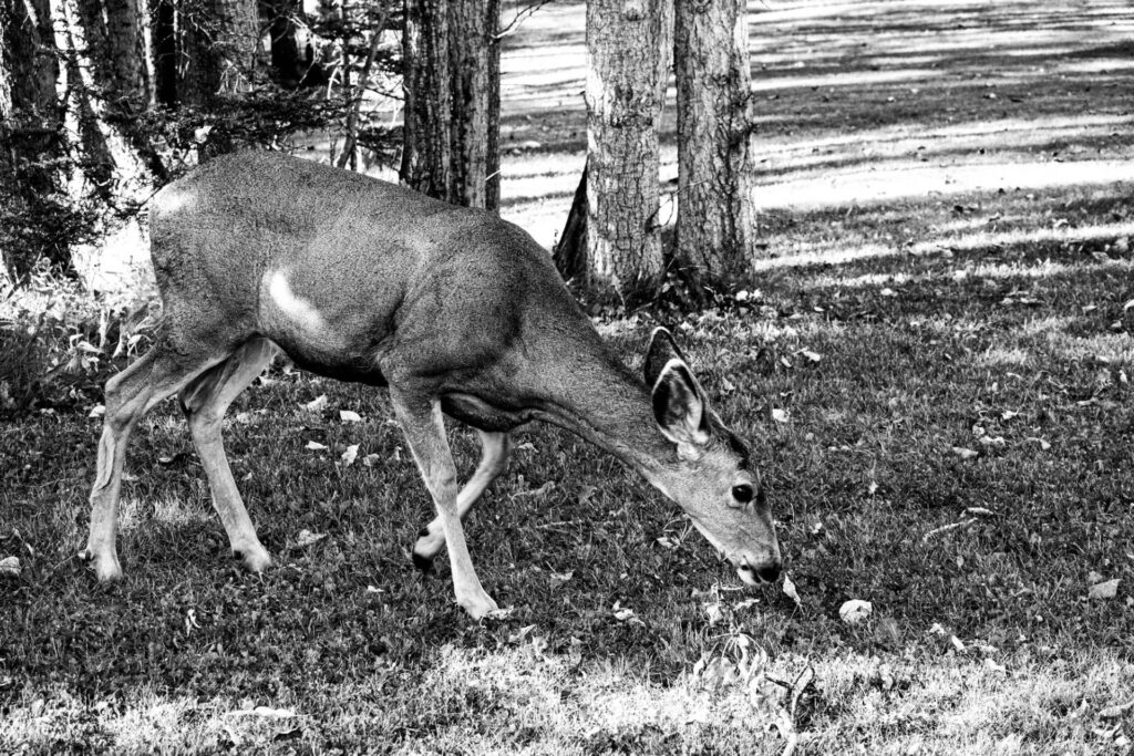
When I arrived in Redwood Meadows just before 5PM I got closer to a deer than I ever had before. Likely within about seven feet. When I got too close it darted off, but it must have been used to people within a certain range, as it was grazing on someone’s lawn with a neighbor using a loud lawnmower. It was a beautiful moment… ruined by a really gross one… as I wrote about my experience, I looked up to see a resident snot rocket onto the grass, the afternoon sun behind him lighting up the streak in all its glistening wonder.
After arriving in Priddis I had been at it for twelve hours and I couldn’t find a hotel room, as I stated in my journal “the smart and cost effective thing to do would be to go home and start fresh tomorrow back in Priddis. Somehow it feels like defeat but the hotel I was counting on isn’t booking.”
I would go home that night and sleep for twelve hours straight!
This is the end of part one of my journey, traversing The Cowboy Trail, please flip the cassette to side B to continue…I kid of course. Please come back next Saturday for the second and final part of my adventure. In the meantime, consider signing up to my weekly newsletter, or subscribing to my You Tube Channel
Stay Classic!

Share this post:
Comments
Wes Hall on Traversing The Cowboy Trail (Part One)
Comment posted: 21/10/2023
Which of the the cameras did you find gravitating towards, or to put another way, looking back, which gave you the strongest memories of the trip?
Comment posted: 21/10/2023
Paul Quellin on Traversing The Cowboy Trail (Part One)
Comment posted: 22/10/2023
Daniel Castelli on Traversing The Cowboy Trail (Part One)
Comment posted: 23/10/2023
I’m looking forward to the next installment of your road trip.
Comment posted: 23/10/2023
Geoff Chaplin on Traversing The Cowboy Trail (Part One)
Comment posted: 23/10/2023
Comment posted: 23/10/2023